Add a Curriculum Bundle to Your Account!
Please select a bundle.


The Pack contains associated resources for the learning experience, typically in the form of articles and videos. There is a teacher Pack (with only teacher information) and a student Pack (which contains only student information). As a teacher, you can toggle between both to see everything.
Here are the teacher pack items for Using Maps:

Overview In this experience students learn about the major types of maps and key concepts such as latitude and longitude. Then they encounter various map projections and the uses of projections. Next, they learn about contemporary high tech mapping processes involving tools such as the Global Positioning System (GPS) and Geographic Information Systems (GIS). Then they write an explanation of what they have learned, from the point of view of an antique mapmaker. Finally, they view a satellite photo of the moonlit Earth and discuss how it could be interpreted as a map. Students will work together in small groups in scene 3. This experience contains a lot of content. You may choose to teach it over two sessions in order to spend adequate time on the various elements of using maps. Objectives
Most people probably think of a map as a means to find your way from one location to another. But there are more types of maps than you can imagine—maps that show you what parts of the world have the most or least money, how the population of the world is distributed, how diseases spread from place to place, where the most elephants live—maps for just about everything! In this experience, you’ll enter the world of maps and glimpse many of its wonders.
Objectives

Antique Map
What items do you notice shown on the map? To list more than one, separate them with a comma, like this: cat, dog
Discuss student responses. Point out that there are drawings of a whale, a dragon, and other sea creatures. These drawings may have been warnings to navigators. In large part, however, they are for decoration.
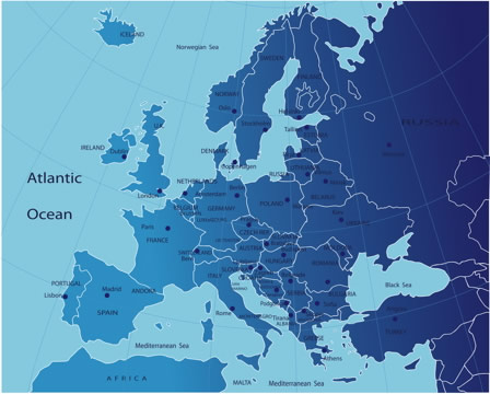
Briefly discuss which areas the modern map labels—countries, capital cities, seas, and continents.
What did the antique map get wrong and what did it get right? Why is the modern map more useful?
Discuss student responses. First, students must determine if the antique map is showing the North Sea and Scandinavia, or the Mediterranean Sea and southern Europe. Students can make an argument for either case.


