Add a Curriculum Bundle to Your Account!
Please select a bundle.


The Pack contains associated resources for the learning experience, typically in the form of articles and videos. There is a teacher Pack (with only teacher information) and a student Pack (which contains only student information). As a teacher, you can toggle between both to see everything.
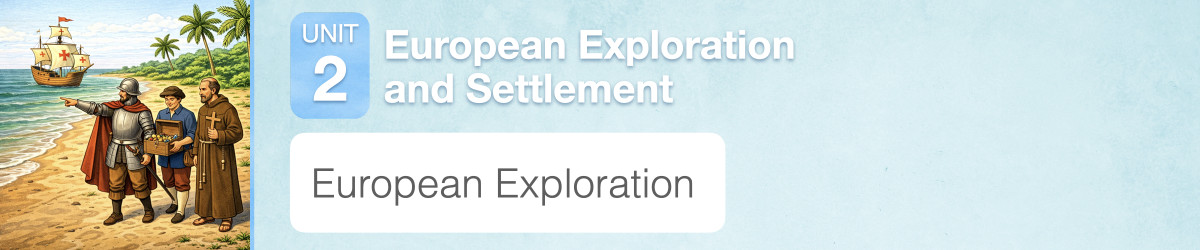
Here are the teacher pack items for European Exploration:

Overview In this experience, students learn about navigational tools used by the European explorers. Then they examine the 3 Gs—gold, God, and glory—that motivated the Europeans. Finally they interpret a map of the Americas drawn by a Spanish cartographer in 1590. If you have access to leveled readers about early European explorers or expeditions, assign them to the students in parallel to this experience. Estimated duration: 30-40 minutes Discovery Reading A printable Discovery Reading is included in the student pack as a support for understanding the experience’s core content and concepts. This Discovery Reading is not necessary to complete the experience and serves as an optional support resource. Vocabulary Words: These vocabulary words are used in the experience or connect closely to the standards and content students examine. Students should understand these terms as they work through the experience. Objective
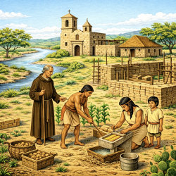
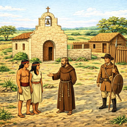
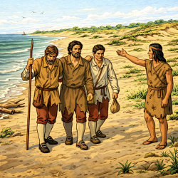
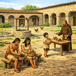
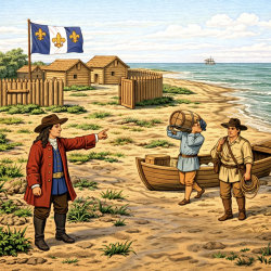
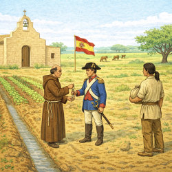
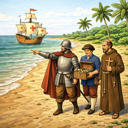
Beginning in the late 1400s, some European sailors began traveling across oceans to explore and trade in new places. These voyages changed many parts of the world. In this lesson, you will learn why European leaders and explorers wanted to travel so far and what these journeys meant for the people they met.
Objective

Detail from the Ortelius Map, 1590
In addition to sea-worthy ships, name a tool that may have helped the explorers on their trips.
Sample answers: maps, compasses, clocks, astrolabes.