Spanish Exploration in Texas


Students look at Alonso Álvarez de Pineda’s map of the Gulf coastline drawn in 1519. Then they read about Cabeza de Vaca’s contribution to our knowledge of pre-settlement Texas. Next they analyze how the myth of the Seven Cities of Gold led Francisco Coronado to explore northern Texas. Finally, they write a diary entry or draw an illustration related to the lesson.

This learning experience is designed for device-enabled classrooms. The teacher guides the lesson, and students use embedded resources, social media skills, and critical thinking skills to actively participate. To get access to a free version of the complete lesson, sign up for an exploros account.

1:1 Devices
Teacher Pack

The Pack contains associated resources for the learning experience, typically in the form of articles and videos. There is a teacher Pack (with only teacher information) and a student Pack (which contains only student information). As a teacher, you can toggle between both to see everything.

Here are the teacher pack items for Spanish Exploration in Texas:

Preview - Scene 1
Exploros Learnign Experience Scene Navigation


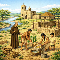
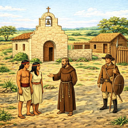
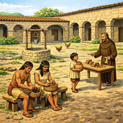
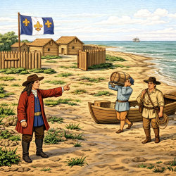
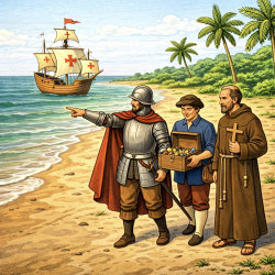
Overview

In this experience, students look at Alonso Álvarez de Pineda’s map of the Gulf coastline drawn in 1519. Then they read about Cabeza de Vaca’s contribution to our knowledge of pre-settlement Texas. Next they analyze how the myth of the Seven Cities of Gold led Francisco Coronado to explore northern Texas. Finally, they write a diary entry or draw an illustration related to the lesson.

If you have access to leveled readers about Cabeza de Vaca, Francisco Coronado, or the Seven Cities of Gold, assign them to the students in parallel to this experience.

Estimated duration: 35-45 minutes, unless you want to allow more time for the creative task in Scene 4.


Discovery Reading

A printable Discovery Reading is included in the student pack as a support for understanding the experience’s core content and concepts. This Discovery Reading is not necessary to complete the experience and serves as an optional support resource.

Vocabulary Words:

These vocabulary words are used in the experience or connect closely to the standards and content students examine. Students should understand these terms as they work through the experience.

  • expedition: a planned journey with a goal, such as exploring land or searching for riches.
  • conquistador: a Spanish explorer and soldier who tried to claim land for Spain.
  • primary source: a record from the time being studied, such as Cabeza de Vaca’s book La Relación.
  • Seven Cities of Gold: a story, or myth, about cities filled with great riches that encouraged Spanish explorers to travel north.
  • economic opportunity: the chance to gain wealth, land, or other riches; one reason Spain explored Texas.
  • Cabeza de Vaca: a Spanish explorer whose writings gave important early information about the land, animals, and Native peoples of Texas.
  • Francisco Coronado: a Spanish explorer who traveled through parts of the Texas Panhandle while searching for the Seven Cities of Gold.
 

Objectives

  • Describe the struggles Álvar Núñez Cabeza de Vaca encountered on his journeys.
  • Identify how the search for gold contributed to the exploration of Texas.


Engage


The most significant European explorers in Texas were from Spain. In this lesson you will learn about some of them and the expeditions that they led.

Objectives

  • Describe the struggles Álvar Núñez Cabeza de Vaca encountered on his journeys.
  • Identify how the search for gold contributed to the exploration of Texas.


roughly drawn map of the Gulf of Mexico

Spanish explorers made some of the earliest maps of places that are now part of Texas. Look at the map above. This map was drawn by Álvarez de Pineda in 1519.


After looking at the map, which region of Texas do you think is shown?

Post your answer

The map is of the Gulf of Mexico coastline, drawn by Alonso Álvarez de Pineda in 1519. The map is important because it establishes when the Europeans first saw the Texas coast.

Consider asking students to explain the details that helped them determine what geographic region of Texas was drawn. Encourage students to use evidence. Consider following up by asking students why it might be important to see old maps like this? What we might learn from looking at them? and Why the maps might have been important at the time?


When everyone is ready to continue, unlock the next scene.

End of Preview
The Complete List of Learning Experiences in European Exploration and Settlement Unit.
Would you like to preview the rest of this learning experience, and get access to the entire functioning Texas Studies course for your classroom? Sign up using your school email address below.
Back to top