Add a Curriculum Bundle to Your Account!
Please select a bundle.


The Pack contains associated resources for the learning experience, typically in the form of articles and videos. There is a teacher Pack (with only teacher information) and a student Pack (which contains only student information). As a teacher, you can toggle between both to see everything.
Here are the teacher pack items for Canada: Geographic Passport:


Overview In this experience, students are introduced to the physical geography of Canada. They create a geographic passport of the country. Then they identify and analyze features of Canada’s geography using maps. Finally, students consider how global warming in the Arctic is affecting Canada. In scene 3, students will work in small groups. You will assign one of two tasks to each group. Objectives:
Canada is the second-largest country in the world by land area and stretches from the Atlantic Ocean to the Pacific Ocean and north into the Arctic. Its geography includes vast forests, mountain ranges, plains, thousands of lakes and rivers, and large areas of tundra in the far north. These physical features influence where people live, how land is used, and how Canada connects to other parts of the world.
In this experience, you will explore the physical geography of Canada and examine some of the features that make the country distinct.
Objectives:
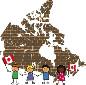
Which part of Canada’s geography would you be most interested in learning about: its landforms, climate, bodies of water, or where people live? Explain your choice in a short phrase.
Take some time to discuss what students already know about Canada.
List one question you have about the geography of Canada. During this experience, see if you can find the answer to that question.
You may want to make a list of all the questions and check them off as the class finds answers throughout this experience. Then encourage students to do additional research to find the answer to any unanswered questions.
When everyone is ready to continue, unlock the next scene.


