Arabia and Iraq: Geographic Passport


World Cultures North Africa and the Middle East Arabia and Iraq: Geographic Passport
Students are introduced to the physical geography of Iraq and the Arabian Peninsula. Using maps and an article as reference, they consider important features of the region. Then they focus specifically on the water resources of this mostly-desert region. Finally, they do their own research on the Arabian camel and present their findings to the group.

This learning experience is designed for device-enabled classrooms. The teacher guides the lesson, and students use embedded resources, social media skills, and critical thinking skills to actively participate. To get access to a free version of the complete lesson, sign up for an exploros account.

1:1 Devices
Teacher Pack

The Pack contains associated resources for the learning experience, typically in the form of articles and videos. There is a teacher Pack (with only teacher information) and a student Pack (which contains only student information). As a teacher, you can toggle between both to see everything.

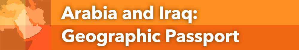
Here are the teacher pack items for Arabia and Iraq: Geographic Passport:

Preview - Scene 1
Exploros Learnign Experience Scene Navigation


Engage


Overview
In this experience, students are introduced to the physical geography of Iraq and the Arabian Peninsula. Using maps and an article as reference, they consider important features of the region. Then they focus specifically on the water resources of this mostly-desert region. Finally, they do their own research on the Arabian camel and present their findings to the group.
 
Much of the content in this experience is adapted from a lesson plan from the Center for Contemporary Arab Studies at Georgetown University: “The Geography of the Arabian Peninsula.” You can refer to the lesson plan in the teacher pack for additional background.
 
Objectives:
  • Describe the physical features and natural resources of Iraq and the Arabian Peninsula.
  • Explain the population patterns of Arabia and Iraq.
  • Identify the location of fresh water in the region.


Objectives:
  • Describe the physical features and natural resources of Iraq and the Arabian Peninsula.
  • Explain the population patterns of Arabia and Iraq.
  • Identify the location of fresh water in the region.


map showing political boundaries

What part of the world does the central part of this map show? In a word or short phrase, share your guess with your classmates.

Post your answer

When everyone is ready to continue, unlock the next part.

map showing names of countries

The central part of the map is called the Arabian Peninsula. Remember, a peninsula is a piece of land that is surrounded almost completely by water. It attaches to a much larger mainland.
 
With your finger, identify the following places on the map as your teacher reads the names of the countries aloud:
  • Iraq
  • Yemen
  • Oman
  • Qatar
  • Bahrain
  • Kuwait
  • Saudi Arabia
  • United Arab Emirates


Read aloud the names of the countries so that students can hear how they are pronounced. 


If you were a trader from Arabia, what body of water would you cross to reach Iran?

Post your answer

A trader from Arabia would have to cross the Persian Gulf to reach Iran.


When everyone is ready to continue, unlock the next scene.

End of Preview
The Complete List of Learning Experiences in Southwest Asia and North Africa Unit.
Would you like to preview the rest of this learning experience, and get access to the entire functioning World Cultures MS course for your classroom? Sign up using your school email address below.
Back to top