Turkey to Afghanistan: Geographic Passport


World Cultures North Africa and the Middle East Turkey to Afghanistan: Geographic Passport
Students are introduced to the physical geography of Iran, Afghanistan, Turkey, and Cyprus. They create a geographic passport of the four countries. Then they identify and compare features of the four countries by creating a map. Finally, students pick a location in the region that they would like to visit and explain why.

This learning experience is designed for device-enabled classrooms. The teacher guides the lesson, and students use embedded resources, social media skills, and critical thinking skills to actively participate. To get access to a free version of the complete lesson, sign up for an exploros account.

1:1 Devices
Teacher Pack

The Pack contains associated resources for the learning experience, typically in the form of articles and videos. There is a teacher Pack (with only teacher information) and a student Pack (which contains only student information). As a teacher, you can toggle between both to see everything.

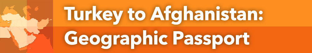
Here are the teacher pack items for Turkey to Afghanistan: Geographic Passport:

Preview - Scene 1
Exploros Learnign Experience Scene Navigation


Engage


Overview
In this experience, students are introduced to the physical geography of Iran, Afghanistan, Turkey, and Cyprus. They create a geographic passport of the four countries. Then they identify and compare features of the four countries by creating a map. Finally, students pick a location in the region that they would like to visit and explain why.
 
In scenes 2 and 3, students work in small groups, each assigned to research one of the four countries.
 
Objectives:
  • Identify the location of Iran, Afghanistan, Turkey, and Cyprus and describe their major physical features.
  • Compare and contrast geographic elements of the four countries.


In this experience, you’re going to explore the geography of the region that includes Iran, Afghanistan, Turkey, and Cyprus.


Objectives:

  • Identify the location of Iran, Afghanistan, Turkey, and Cyprus and describe their major physical features.
  • Compare and contrast geographic elements of the four countries.


political map of Asia

Locate Turkey, Cyprus, Iran, and Afghanistan on the map above.


Look carefully at the countries and the continents. What do you notice?

Post your answer

As a class, discuss the things that you noticed on the map.


Cyprus is part of Europe, Turkey is part Europe/part Asia, and Iran and Afghanistan are part of Asia.
 
Students will notice different features of the map. Some may notice that these countries are considered part of the Middle East. Others may state that they have never heard of the country of Cyprus. You may want to make a list of questions that emerge from the conversation and check them off as the class finds answers throughout this experience.


Divide students into their small groups for scenes 2 and 3. Assign each group one of the four countries: Afghanistan, Iran, Turkey, or Cyprus. Assign a reporter to upload the result for each group, or tell the students to choose their own reporter.
 
When everyone is ready to continue, unlock the next scene.

End of Preview
The Complete List of Learning Experiences in Southwest Asia and North Africa Unit.
Would you like to preview the rest of this learning experience, and get access to the entire functioning World Cultures MS course for your classroom? Sign up using your school email address below.
Back to top