Add a Curriculum Bundle to Your Account!
Please select a bundle.



The Pack contains associated resources for the learning experience, typically in the form of articles and videos. There is a teacher Pack (with only teacher information) and a student Pack (which contains only student information). As a teacher, you can toggle between both to see everything.
Here are the teacher pack items for North Africa: Geographic Passport:

Overview In this experience, students examine the physical geography of North Africa by identifying major countries, climate regions, landforms, and water features on a map. They then analyze how the region’s location and physical geography have influenced migration, trade, religion, language, and cultural diffusion. Finally, students investigate desertification in North Africa, including its causes, effects, and strategies used to reduce its impact. Objectives:
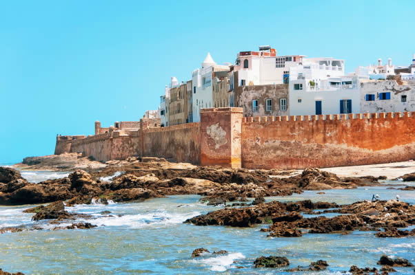
North Africa stretches across the northern part of the African continent, from the Atlantic Ocean in the west to the Red Sea in the east. The region includes vast deserts, narrow coastal plains, mountain ranges, river valleys, and areas of fertile land.
The Sahara Desert covers much of North Africa, but the region is not one continuous landscape. The Atlas Mountains rise in the northwest, the Nile River supports dense settlement in the east, and Mediterranean and Atlantic coastlines have helped connect North Africa to Europe, Southwest Asia, and other parts of Africa for thousands of years.
These physical features have influenced where people live, how they travel, what they grow, and how communities interact with one another.
In this experience, you will examine the major physical features, climates, resources, and population patterns of North Africa and consider how geography helps shape life across the region.
Objectives:
If much of a region is very dry, what physical features might become especially important to where people live and how communities develop? Explain your thinking.
Invite students to share which physical features they think would become especially important in a very dry region. Ask them to explain the reasoning behind their ideas rather than simply naming a feature. As students respond, guide them toward connections among water, settlement, transportation, farming, and access to resources. Do not confirm every prediction yet. Explain that students will use maps and geographic information throughout the experience to test which ideas are supported. Possible follow-up questions include:
When everyone is ready to continue, unlock the next scene.


