Add a Curriculum Bundle to Your Account!
Please select a bundle.


The Pack contains associated resources for the learning experience, typically in the form of articles and videos. There is a teacher Pack (with only teacher information) and a student Pack (which contains only student information). As a teacher, you can toggle between both to see everything.
Here are the teacher pack items for Israel and Its Neighbors: Geographic Passport:

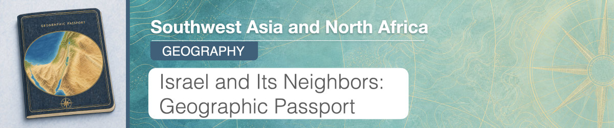
Overview In this experience, students examine the physical and human geography of Israel, the Palestinian territories, Jordan, Syria, and Lebanon by comparing land area, topography, climate, population density, and settlement patterns. They then analyze how geographic conditions influence settlement, agriculture, transportation, and access to resources in Israel, Syria, and Jordan. Finally, students research Lebanon and create a video script explaining its major geographic features, population patterns, and geographic challenges. In scenes 3 and 4, students will work together in small groups. Objective:
Israel, the Palestinian territories, Jordan, Syria, and Lebanon occupy a relatively small area, but their geography includes coastlines, mountains, river valleys, fertile plains, deserts, and some of the lowest land elevations on Earth. These physical features create very different environments within a short distance of one another.
Water is especially important across the region. Rainfall is uneven, and rivers, groundwater, and other freshwater sources influence where farming is possible and where communities have developed. Mountains and dry areas can also affect transportation, settlement, and the ways people use the land.
In this experience, you will examine the physical features, climate, water resources, and population patterns of Israel and its neighbors. As you work, consider how geography helps explain where people live and how communities adapt to the environments around them.
Objective:
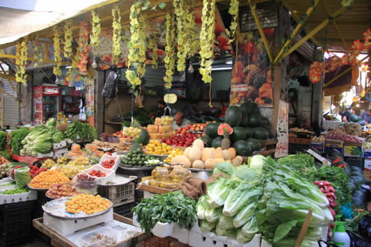
Souq (Farmer’s Market) in Amman, Jordan
How can two places that are close together have very different physical environments? What might cause those differences?
After students respond, invite several students to share the geographic factors they think could create different environments across short distances. Record a few ideas, but do not confirm or correct them yet. Use the discussion to surface possible explanations such as elevation, mountains, distance from the coast, rainfall, rivers, and climate. Tell students they will test these ideas as they examine maps and geographic evidence from the region. Possible follow-up questions include:
In this lesson, you will focus on several Middle Eastern countries. They are colored in yellow on the map below.
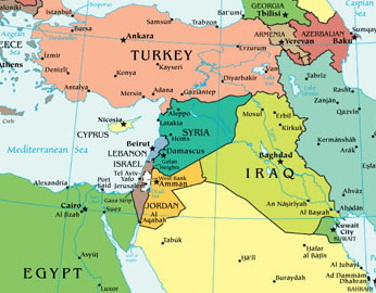
Explain that this experience focuses on Israel, the Palestinian territories, Jordan, Syria, and Lebanon. Clarify that maps may represent this area differently because the political status and borders of some places are disputed. The State of Palestine has limited international recognition, and the Palestinian territories commonly include the West Bank, including East Jerusalem, and the Gaza Strip. Give students an opportunity to share what they already know about the geography of the region. Keep the discussion focused on physical and human geography, such as coastlines, mountains, rivers, climate, water availability, cities, and population patterns. If students mention current conflicts, acknowledge that conflict has affected the region, but explain that this experience will focus first on the geographic background needed to understand the area more fully.
When everyone is ready to continue, unlock the next scene.


